Compound Flooding in Coastal Croatia under Present and Future Climate
"Foresee the flood..."
What is compound flooding?
Coastal regions are vulnerable to flooding because they are exposed to multiple oceanographic and hydrologic events, such as storm surges, extreme waves, high river flows, and extreme precipitation. However, consequences of flooding caused by a simultaneous or sequential floods from different sources are greater than if floods from these sources had occurred separately.
Such combined events are referred to as “Compound Flooding”.
The latest IPCC report suggests that the probability of compound events will likely increase in the future, and that there is a medium confidence that compound flooding risk has increased in some locations. For this reason, the World Climate Research Program has identified compound flood events as an international research priority.
What are we doing about it?
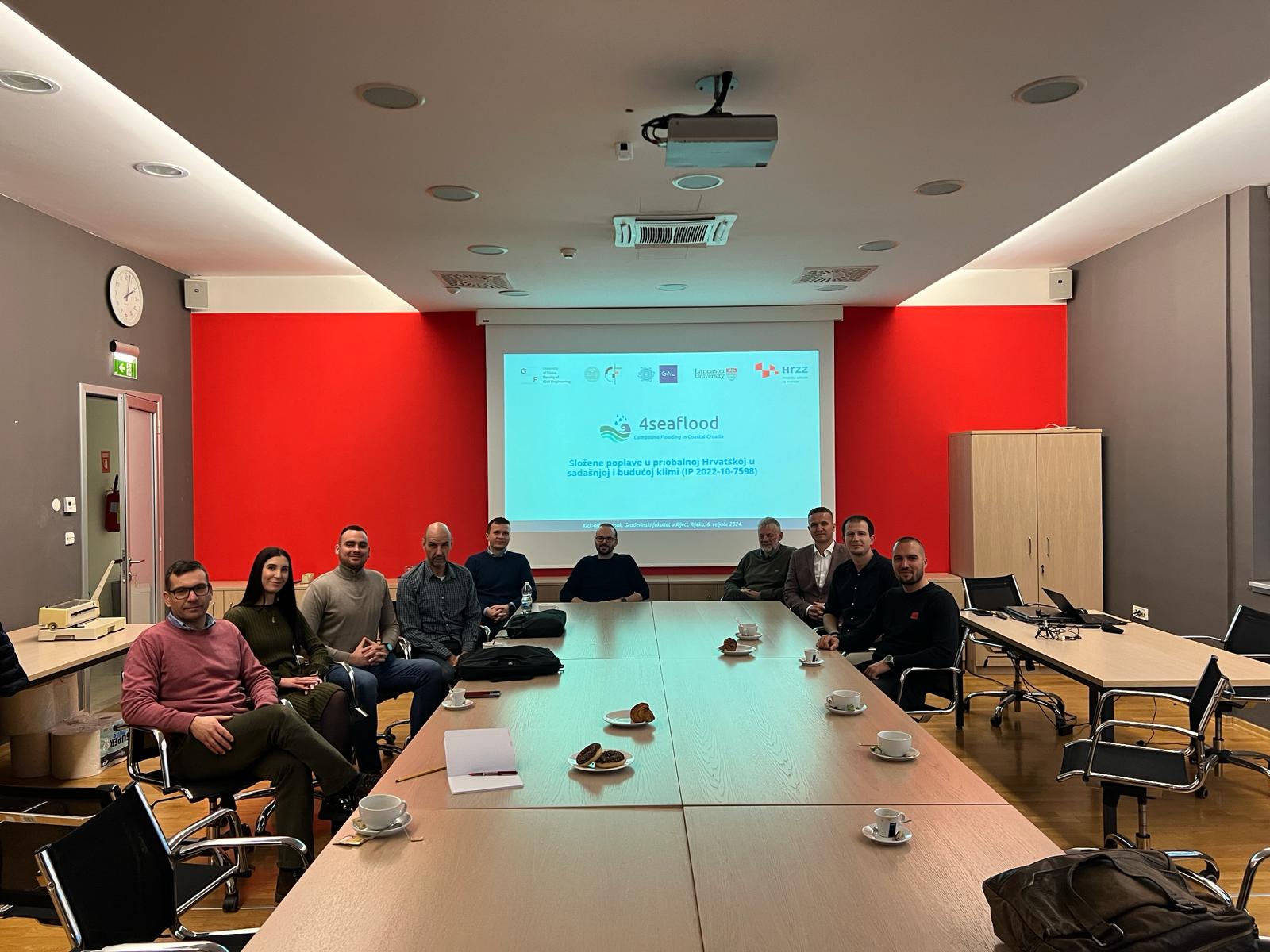
4SeaFlood is a scientific project focusing on compound flooding along the Croatian coast funded by the Croatian Science Foundation (2023-2027).
This project will bring together scientists from different institutions in Croatia and abroad with specific skillset to quantify present and future compound flooding potential along the Croatian coast, map compound flooding hazards at selected pilot areas in Croatia and increase the overall knowledge of the compound flooding mechanisms under microtidal conditions.
Objectives of the project
Regional scale
We will quantify and map compound flooding potential along the Croatian coast.
Local scale
We will analyse and map compound flood hazards in three pilot areas.
Micro scale
We will improve the understanding of compound flooding mechanisms in microtidal conditions.
Guidelines
We will propose guidelines for assessing compound flooding in other coastal areas in Croatia.
How will we do it?
This project will develop an innovative multi-scale methodological framework for assessing compound flooding on the regional or macro scale (Croatian coast), the local or meso scale (pilot areas), and the micro scale (a microtidal estuary).
We will collect long-term time series of precipitation from rain gauges in major cities and towns along the Croatian coast, as well as water level and discharge time series from hydrological stations near the mouths of coastal rivers. We will also use long-term data from official tide gauges in Croatia. Although the observation network in Europe is among the best in the world, tide gauges are still sparse in Croatia and wave gauges have just been installed recently. Therefore, we will combine measured data with numerical reanalyses.
Sea level and salinity data for the entire Adriatic Sea will be obtained from the Copernicus Marine Service (Mediterranean Sea Physics Reanalysis).
Sea surface waves will be similarly obtained from the Copernicus Marine Service (Mediterranean Sea Waves Reanalysis,). Since there are some discrepancies between the observations and numerically obtained data, we will adjust the numerical data (sea level, surface waves, and salinity) to the localised point observations and/or consider its uncertainty. In addition to sea surface waves, we will also obtain wind data from the ERA5 reanalysis.
Finally, we will also obtain climate projections from the Coupled Model Intercomparison Project (CMIP6) that support the IPCC sixth Assessment Report.
All these data will be systematised, preprocessed and integrated into a hydrometeorological database for analysis at regional and local scales.
Using the hydrometeorological data, we will assess the compound flooding potential for the Croatian coast. The Dependence Extreme Method and Joint Occurrence Method will be used to quantify the compound flooding potential index. We will consider the co-occurrence of storm surges and:
- large waves (source of coastal flooding and overtopping),
- high river discharge (source of estuarine flooding),
- low river discharge (source of saltwater intrusion), and
- high precipitation (source of urban flooding).
Neglecting the seasonality of rainfall and sea levels can lead to a significant underestimation of expected annual damages from compound flooding. Therefore, this project proposal will go a step further and evaluate the seasonal correlation and co-occurrence for all four combinations by examining the monthly maximum values. Finally, the correlation coefficients, the number of co-occurrences and the compound flooding potential index will be mapped along the Croatian coast and systematized in a GIS database.
At the local scale, we selected three pilot areas where we will map compound flooding hazards:
- Rovinj (high sea levels + extreme waves),
- Biograd na Moru (high sea levels + extreme precipitation),
- Neretva River Estuary (high sea levels + high discharge/low discharge).
All three locations were classified as very susceptible to flooding by the Preliminary Flood Risk Assessment for Croatia.
We will calculate the bivariate joint probabilities of high sea levels and: a) large waves, b) high river discharge, c) low discharge, and d) high precipitation, using copula-based methodology. We will derive boundary conditions for numerical modelling of compound flooding hazards by sampling the joint probability. This approach will be improved by considering non-stationary scenarios, defined by climate projections from CMIP6. Using climate projections for precipitation, we will apply appropriate machine-learning methods to evaluate potential future changes of extreme discharge in the Neretva River Estuary. To evaluate the compound flooding hazards we will create several numerical models and perform simulations using a wide range of scenarios.
- In the pilot area of Rovinj, we will model the compound flooding hazards resulting from a combination of high sea levels and extreme waves that can lead to coastal flooding and excessive overtopping.
- In the pilot area of Biograd na Moru, we will model compound flooding hazards resulting from a combination of high sea levels and extreme precipitation that can lead to urban flooding.
- In the pilot area of Neretva River Estuary, we will model two flooding mechanisms, a combination of high sea levels and: a) high river flow that can result in large scale (fluvial and coastal) flooding, and b) low river flow that can lead to increased saltwater intrusion (high risk to agricultural activities).
Finally, in all three pilot areas, we will map the obtained results and produce a hazard map illustrating spatial distribution of depths, velocities, and flood severity for three different probabilities in the present and future climate.
To better understand the microtidal and baroclinic effects of flooding mechanisms in estuaries we will establish a field monitoring system in the Rječina River Estuary (RRE) in the city of Rijeka. In addition to the official observations, we will establish a new continuous measurement framework at the RRE consisting of:
- Flow meters, one installed upstream of the RRE mouth (outside the tidal limit), and the other installed near the river mouth.
- Acoustic velocity profiler installed near the RRE mouth to measure the vertical velocity profile and river outflows.
- A series of conductivity-temperature-depth (CTD) data loggers, to measure salinity profile and estimate salt-wedge dynamics.
The total planned operating time of the monitoring system operation is 24 months to maximize the likelihood of capturing at least one extreme storm surge and high discharge; however, the flow meters will remain in the RRE after the completion of this project and may be integrated into a flood early warning system.
The field monitoring system data will be used to establish a numerical model of RRE. First, the model parameters (bed friction, interfacial friction, and entrainment) will be calibrated using field measurements. Second, the model will be validated for different scenarios (flow conditions). Third, the model will be used for probabilistic simulations to investigate the sensitivity of estuaries to different combinations of external forcings (tides, storm surges, and discharges). We will use these results to determine the importance and impact of stratification (baroclinic effect) in compound flooding in estuaries and apply the new insights to the local scale analysis.
All experience, knowledge, and insights on compound flooding will be summarized to produce a guidance document that will support the next generation of national flood risk management plans in Croatia. We will produce guidelines for Compound Flood Risk Analysis and Mapping that will include recommendations for:
- collecting and processing input data,
- calculating joint probabilities for different sources of flooding,
- defining appropriate scenarios,
- selecting, setting up, and running numerical models,
- mapping compound flood hazards.
These guidelines will be disseminated through two workshops.
Pilot areas
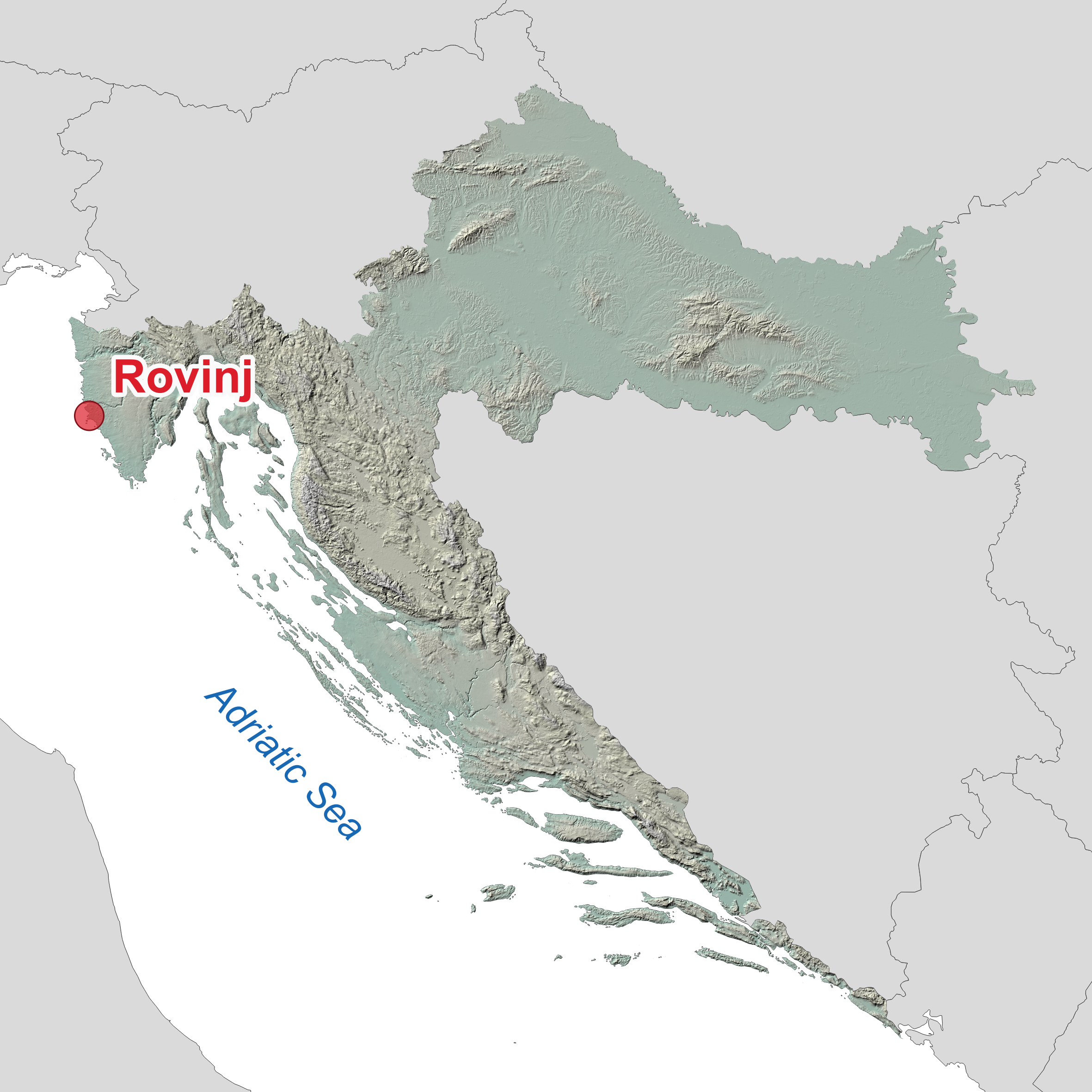
Rovinj
Situated on the western coast of the Istrian peninsula, Rovinj is a historic town known for frequent coastal flooding. Here we will analyse compound flooding caused by high sea levels and extreme waves.
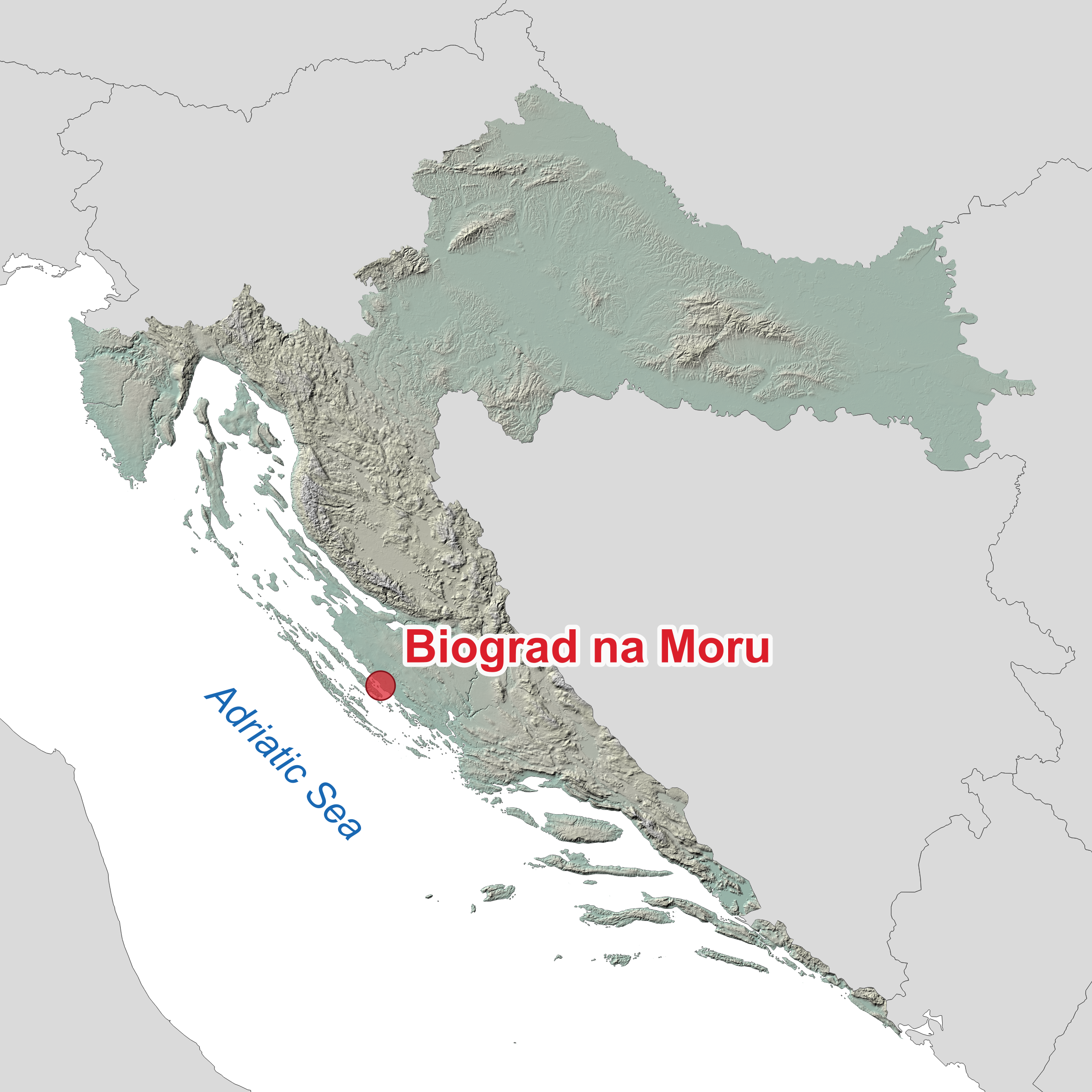
Biograd na Moru
Located on the Adriatic coast in Dalmatia, Biograd na Moru is a coastal town known for both coastal and pluvial flooding. Here we will analyse compound flooding caused by high sea levels and extreme rainfall.
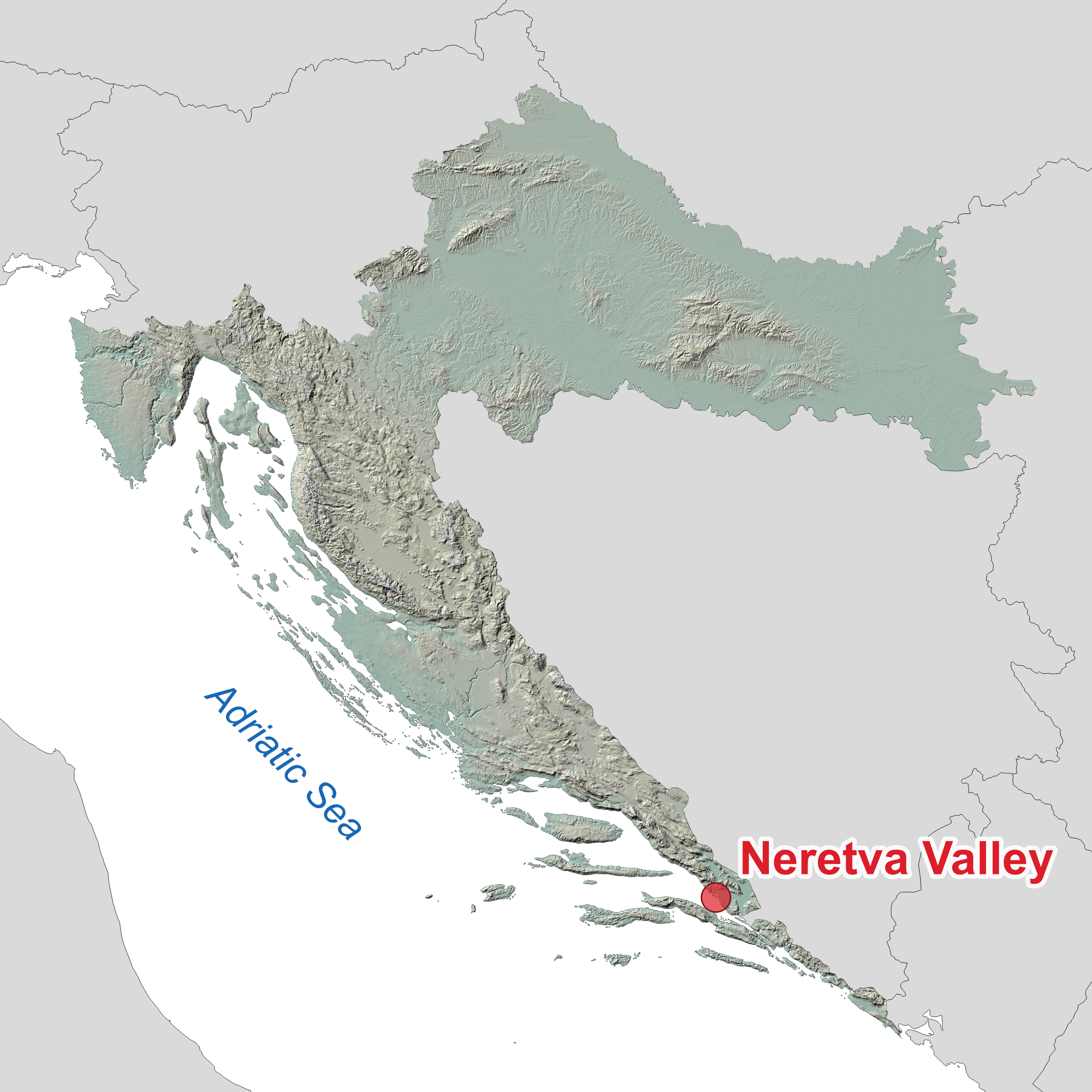
Neretva Valley
Located in the southern part of Croatia, the Neretva Valley is characterised by its agricultural importance and the Neretva River surrounded by wetlands. Here we will analyse compound flooding caused by the high sea levels and river flow.
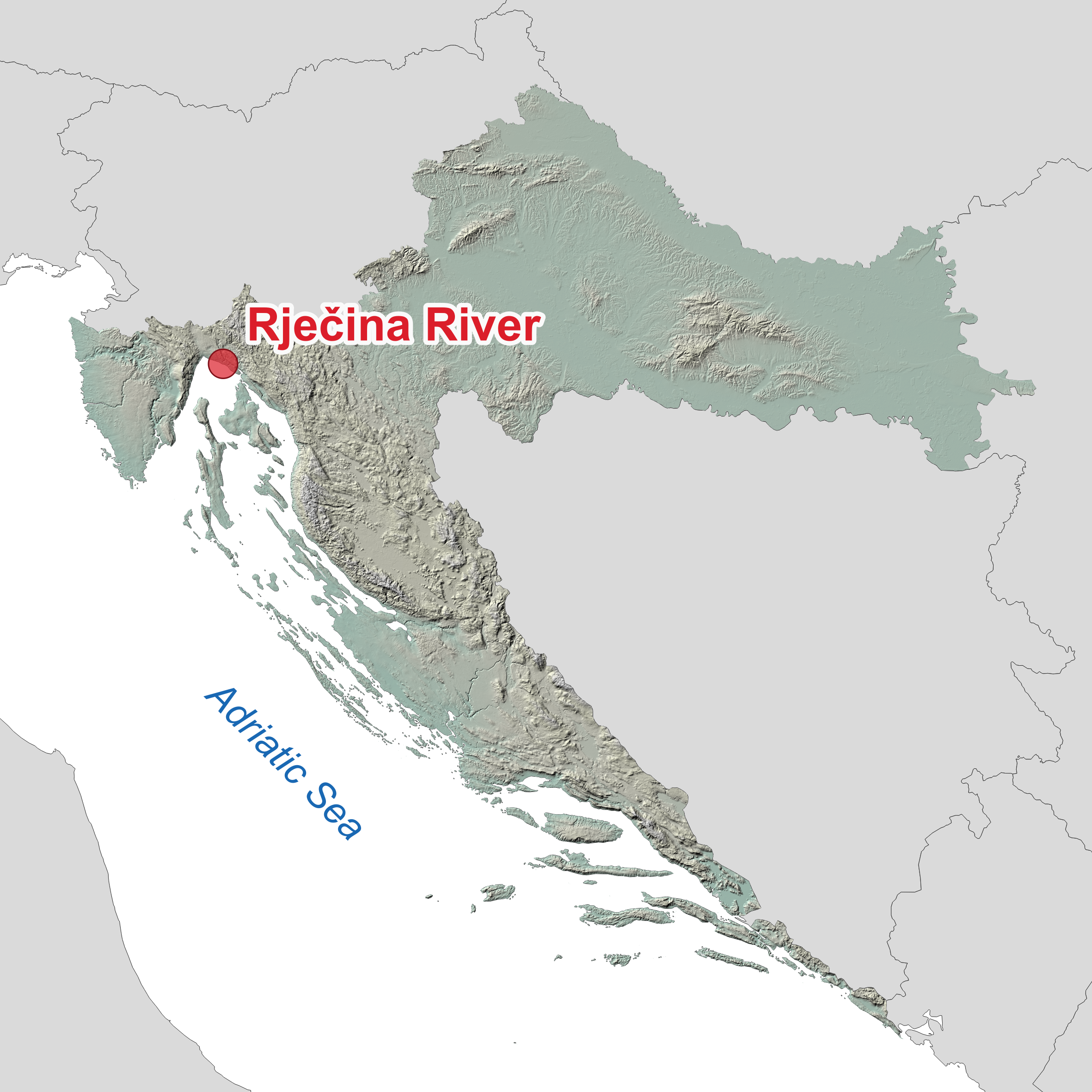
Rječina River
Located on the northern Adriatic coast, the lower part of the Rječina River flows through Rijeka before it enters into the Adriatic Sea. Here we will set up a comprehensive monitoring system and analyse the interactions between the river and the sea.
What are the expected results?
Hydrometeorological database
A database of meteorologic, hydrologic and mareographic data from measurement and numerical simulations related to sea levels, sea waves, wind velocity, river discharge, and rainfall.
Compound flooding potential map for Croatia
GIS map of coastal part of Croatia showing compound flooding potential for all major cities and coastal river mouths in present and future climate.
Joint probabilities for present and future climate
Calculated probabilities of joint occurance of different sources of flooding for three pilot areas.
Digital elevation models (DEM) for pilot areas
A GIS database consisting of digital elevation models for three pilot areas.
Numerical models for pilot areas
Results from numerical models for simulating compound flooding in three pilot areas.
Compound flood hazard maps for pilot areas
A GIS database and series of maps showing the compound flood hazard maps for three pilot areas.
Field monitoring system in the Rječina River
Installation of field monitoring system in the Rječina River with a database of measured time series.
Project reports and dissemination
A series of reports for all project results and information on dissemination activites.
Scientific publications
Scientific publications related to the project results published in journals and proceedings.
Workshops and guidelines
Guidelines for compound flood risk analysis and mapping, and materials for workshops.
Who are we?
University of Rijeka
Faculty of Civil Engineering
University of Zagreb
Faculty of Civil Engineering
University of Zadar
Center for Geospatial Technologies
Lancaster University
Environment Centre
Nino Krvavica
University of Rijeka, Faculty of Civil Engineering, Associate Professor, Principal Investigator
Igor Ružić
University of Rijeka, Faculty of Civil Engineering, Associate Professor
Marta Marija Gržić
University of Rijeka, Faculty of Civil Engineering, Research assistant
Ivona Petković
University of Rijeka, Faculty of Civil Engineering, Research assistant
Suzana Ilić
Lancaster University, Lancaster Environment Centre, Senior Lecturer
Goran Lončar
University of Zagreb, Faculty of Civil Engineering, Professor
Damjan Bujak
University of Zagreb, Faculty of Civil Engineering, Assistant Professor
Ante Šiljeg
University of Zadar, Center for Geospatial Technologies, Professor
Silvija Šiljeg
University of Zadar, Center for Geospatial Technologies, Associate Professor
Josip Rubinić
GEO-5 d.o.o., Rovinj, Hydrological Expert
News
New Publications by 4SeaFlood Team Members
Our team members working on the coastal engineering aspects of compound flooding have recently published two papers in the Journal of Marine …
Postdoc position – join us!
Institution: Faculty of Civil Engineering, University of Rijeka (Croatia)Project: 4SeaFlood – Compound Flooding in Coastal Croatia under Present and Future Climate (Croatian …
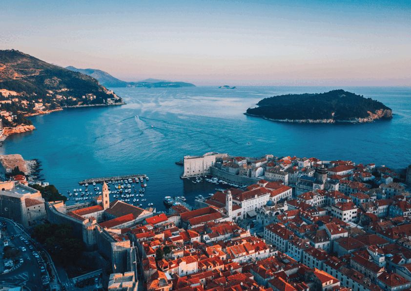
Conference on Applied Coastal Research in Dubrovnik
🌊 SCACR 2025 – 11th Short Course / Conference on Applied Coastal Research, Dubrovnik Last week, our research team members had the …
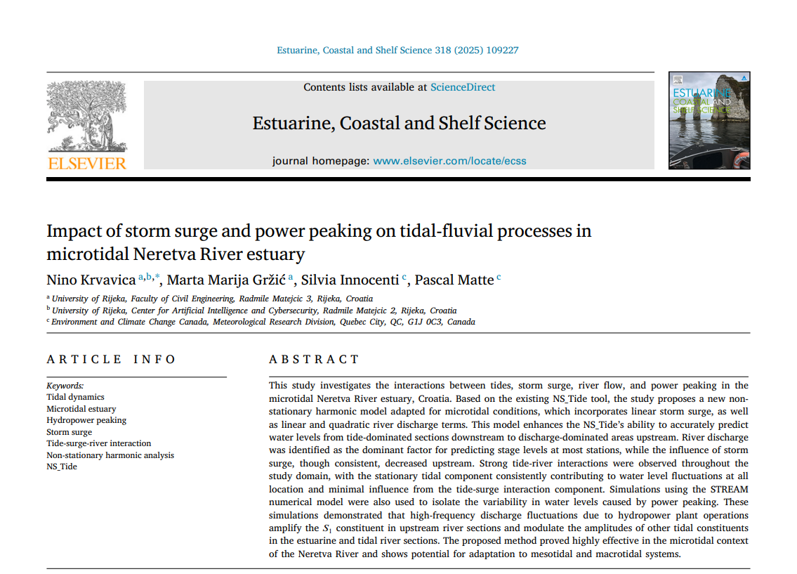
How Do Sea and River Reshape the Flow in the Neretva River Estuary?
Impact of Storm Surge and Power Peaking on Tidal-Fluvial Processes in the Microtidal Neretva River Estuary We conducted a comprehensive study on …
Team Update for 2025
We’re pleased to welcome two new members to our research team: 🌍 Assoc. Prof. Silvija Šiljeg from the University of Zadar, who …
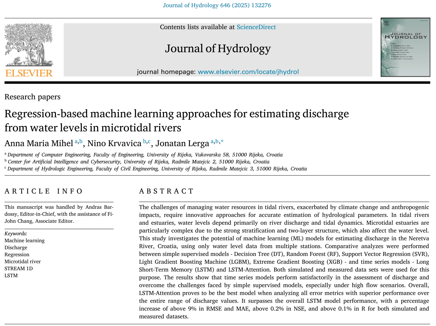
New paper published in the Journal of Hydrology
Did you know that we can estimate the flow in tidal rivers and estuaries based solely on the water levels at several …

